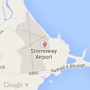
Ville de Stornoway Airport (Scotland)
Informations
Chiffres
- Code pays :
- GB
- Code postal :
- HS2
- Latitude :
- 58.21247
- Longitude :
- -6.32106
- Zone horaire :
- Europe/London
- Fuseau horaire :
- UTC
- Heure d'été :
- Y
La ville de Stornoway Airport appartient à la nation Scotland et au comté Eilean Siar.
L'altitude moyenne est de 8 m.
Le nom anglais de la ville est Stornoway Airport.
Le site Internet de Stornoway Airport est http://www.hial.co.uk
©photo-libre.fr