Ville de Prestonpans (Scotland)
Informations
Chiffres
- Code pays :
- GB
- Code postal :
- EH32
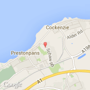
- Latitude :
- 55.96153
- Longitude :
- -2.97103
- Zone horaire :
- Europe/London
- Fuseau horaire :
- UTC
- Heure d'été :
- Y
La ville de Prestonpans appartient à la nation Scotland et au comté East Lothian.
©photo-libre.fr