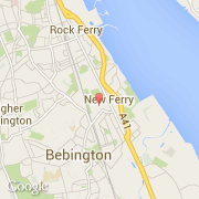
Ville de New Ferry (England)
Informations
Chiffres
- Code pays :
- GB
- Code postal :
- CH62
- Latitude :
- 53.36008
- Longitude :
- -3.00036
- Zone horaire :
- Europe/London
- Fuseau horaire :
- UTC
- Heure d'été :
- Y
La ville de New Ferry appartient à la nation England, au comté Merseyside et au district Wirral.
©photo-libre.fr