Ville de Holt (England)
Informations
Chiffres
- Code pays :
- GB
- Code postal :
- NR25
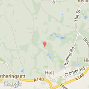
- Latitude :
- 52.91983
- Longitude :
- 1.08329
- Zone horaire :
- Europe/London
- Fuseau horaire :
- UTC
- Heure d'été :
- Y
©photo-libre.fr
Informations
Chiffres
Villes voisines
Les transports de Holt
Informations
Chiffres
Villes voisines
Les transports de Holt