Ville de Veltrusy (Středočeský kraj)
Informations
Chiffres
- Code pays :
- CZ
- Code postal :
- 277-46
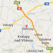
- Latitude :
- 50.27197
- Longitude :
- 14.32403
- Zone horaire :
- Europe/Prague
- Fuseau horaire :
- UTC+1
- Heure d'été :
- Y
La ville de Veltrusy appartient à la région Středočeský kraj, au district Mělník et à la commune Veltrusy.
©photo-libre.fr