Informations
Chiffres
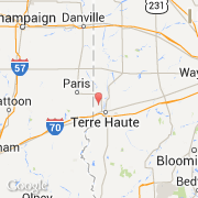
La ville de Saint Mary of the Woods appartient à l'état Indiana et au comté Vigo.
Villes voisines
Les transports de Saint Mary of the Woods