Ville de Kirchdorf (Argovie)
Informations
Chiffres
- Code pays :
- CH
- Code postal :
- 5416
- Latitude :
- 47.49588
- Longitude :
- 8.27544
- Zone horaire :
- Europe/Zurich
- Fuseau horaire :
- UTC+1
- Heure d'été :
- Y
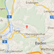
La ville de Kirchdorf appartient au canton Argovie, au district Baden et à l'arrondissement Obersiggenthal.
La ville de Kirchdorf s'étend sur 6,1 km². L'altitude maximum est de 611 m, l'altitude moyenne est de 611 m.
La langue officiel de la ville est Allemand. Le nom français de la ville est Kirchdorf, le nom espagnol est Kirchdorf.
Le site Internet de Kirchdorf est http://www.kirchdorf-be.ch
©photo-libre.fr