Ville de Whitmore (England)
Informations
Chiffres
- Code pays :
- GB
- Code postal :
- ST5
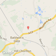
- Latitude :
- 52.96498
- Longitude :
- -2.29610
- Zone horaire :
- Europe/London
- Fuseau horaire :
- UTC
- Heure d'été :
- Y
La ville de Whitmore appartient à la nation England, au comté Staffordshire et au district Newcastle-under-Lyme.
©photo-libre.fr