Informations
Chiffres
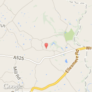
La ville de Whitewell appartient à la nation Wales et au comté Wrexham.
Villes voisines
Les transports de Whitewell