Ville de Thormanby (England)
Informations
Chiffres
- Code pays :
- GB
- Code postal :
- YO61
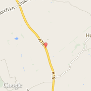
- Latitude :
- 54.16438
- Longitude :
- -1.24338
- Zone horaire :
- Europe/London
- Fuseau horaire :
- UTC
- Heure d'été :
- Y
La ville de Thormanby appartient à la nation England, au comté North Yorkshire et au district Hambleton.
La ville de Thormanby compte 138 habitants.
©photo-libre.fr