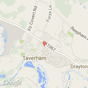
Ville de Taverham (England)
Informations
Chiffres
- Code pays :
- GB
- Code postal :
- NR8
- Latitude :
- 52.68313
- Longitude :
- 1.20100
- Zone horaire :
- Europe/London
- Fuseau horaire :
- UTC
- Heure d'été :
- Y
Informations
Chiffres
Villes voisines
Les transports de Taverham
Informations
Chiffres
Villes voisines
Les transports de Taverham