Ville de Stockport (England)
Informations
Chiffres
- Code pays :
- GB
- Code postal :
- SK1
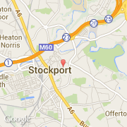
- Latitude :
- 53.40735
- Longitude :
- -2.15242
- Zone horaire :
- Europe/London
- Fuseau horaire :
- UTC
- Heure d'été :
- Y
La ville de Stockport appartient à la nation England, au comté Cheshire et au district Stockport.
La ville de Stockport s'étend sur 126,06 km² et compte 136 082 habitants pour une densité de 1 079,50 habitants par km².
Le nom espagnol est Stockport.
Le site Internet de Stockport est http://www.stockport.gov.uk
©photo-libre.fr