Ville de St Pauls Trading Estate (England)
Informations
Chiffres
- Code pays :
- GB
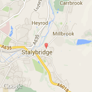
- Code postal :
- SK15
- Latitude :
- 53.48502
- Longitude :
- -2.04367
- Zone horaire :
- Europe/London
- Fuseau horaire :
- UTC
- Heure d'été :
- Y
La ville de St Pauls Trading Estate appartient à la nation England, au comté Greater Manchester et au district Tameside.
©photo-libre.fr