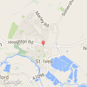
Ville de St Ives (England)
Informations
Chiffres
- Code pays :
- GB
- Code postal :
- PE27
- Latitude :
- 52.33125
- Longitude :
- -0.07122
- Zone horaire :
- Europe/London
- Fuseau horaire :
- UTC
- Heure d'été :
- Y
La ville de St Ives appartient à la nation England, au comté Cambridgeshire et au district Huntingdonshire.
La langue officiel de la ville est Inglés.
©photo-libre.fr