Ville de Smethwick (England)
Informations
Chiffres
- Code pays :
- GB
- Code postal :
- B66
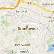
- Latitude :
- 52.49227
- Longitude :
- -1.96654
- Zone horaire :
- Europe/London
- Fuseau horaire :
- UTC
- Heure d'été :
- Y
La ville de Smethwick appartient à la nation England, au comté West Midlands et au district Sandwell.
Le nom français de la ville est Smethwick.
©photo-libre.fr