Informations
Chiffres
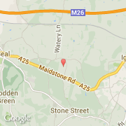
La ville de Seal Chart appartient à la nation England, au comté Kent et au district Tonbridge and Malling.
Villes voisines
Les transports de Seal Chart