Ville de Rugeley (England)
Informations
Chiffres
- Code pays :
- GB
- Code postal :
- WS15
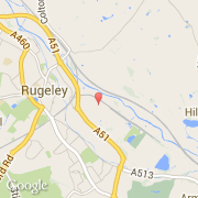
- Latitude :
- 52.75859
- Longitude :
- -1.91885
- Zone horaire :
- Europe/London
- Fuseau horaire :
- UTC
- Heure d'été :
- Y
La ville de Rugeley appartient à la nation England, au comté Staffordshire et au district Stafford.
La ville de Rugeley compte 22 724 habitants.
©photo-libre.fr