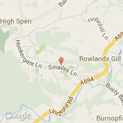
Ville de Rowlands Gill (England)
Informations
Chiffres
- Code pays :
- GB
- Code postal :
- NE39
- Latitude :
- 54.92279
- Longitude :
- -1.76195
- Zone horaire :
- Europe/London
- Fuseau horaire :
- UTC
- Heure d'été :
- Y
La ville de Rowlands Gill appartient à la nation England, au comté Tyne and Wear et au district Gateshead.
©photo-libre.fr