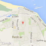
Ville de Redcar (England)
Informations
Chiffres
- Code pays :
- GB
- Code postal :
- TS10
- Latitude :
- 54.60723
- Longitude :
- -1.07017
- Zone horaire :
- Europe/London
- Fuseau horaire :
- UTC
- Heure d'été :
- Y
La ville de Redcar appartient à la nation England, au comté North Yorkshire et au district Redcar and Cleveland.
©photo-libre.fr