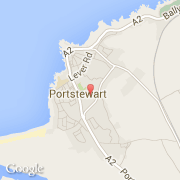
Ville de Portstewart (Northern Ireland)
Informations
Chiffres
- Code pays :
- GB
- Code postal :
- BT55
- Latitude :
- 55.17885
- Longitude :
- -6.71161
- Zone horaire :
- Europe/London
- Fuseau horaire :
- UTC
- Heure d'été :
- Y
La ville de Portstewart appartient à la nation Northern Ireland et au comté Coleraine.
La ville de Portstewart compte 7 803 habitants.
©photo-libre.fr