Ville de Normanton-on-the-Wolds (England)
Informations
Chiffres
- Code pays :
- GB
- Code postal :
- NG12
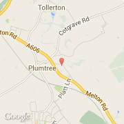
- Latitude :
- 52.89064
- Longitude :
- -1.07818
- Zone horaire :
- Europe/London
- Fuseau horaire :
- UTC
- Heure d'été :
- Y
La ville de Normanton-on-the-Wolds appartient à la nation England, au comté Nottinghamshire et au district Rushcliffe.
©photo-libre.fr