Ville de Newtownabbey (Northern Ireland)
Informations
Chiffres
- Code pays :
- GB
- Code postal :
- BT36
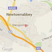
- Latitude :
- 54.67621
- Longitude :
- -5.95633
- Zone horaire :
- Europe/London
- Fuseau horaire :
- UTC
- Heure d'été :
- Y
La ville de Newtownabbey appartient à la nation Northern Ireland et au comté Newtownabbey.
La ville de Newtownabbey compte 62 056 habitants (recensement de 2001).
Le nom français de la ville est Newtownabbey.
©photo-libre.fr