Ville de Mill End (England)
Informations
Chiffres
- Code pays :
- GB
- Code postal :
- WD3
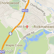
- Latitude :
- 51.63724
- Longitude :
- -0.49599
- Zone horaire :
- Europe/London
- Fuseau horaire :
- UTC
- Heure d'été :
- Y
La ville de Mill End appartient à la nation England, au comté Hertfordshire et au district Three Rivers.
©photo-libre.fr