Ville de Llangattock (Wales)
Informations
Chiffres
- Code pays :
- GB
- Code postal :
- NP25
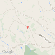
- Latitude :
- 51.83793
- Longitude :
- -2.78879
- Zone horaire :
- Europe/London
- Fuseau horaire :
- UTC
- Heure d'été :
- Y
La ville de Llangattock appartient à la nation Wales et au comté Monmouthshire.
©photo-libre.fr