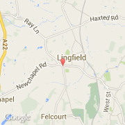
Les transports de Lingfield
- Aéroports internationaux
-
Gatwick ~12 km
City ~37 km
Heathrow ~46 km
- Autres transports
-
Biggin Hill ~18 km
London Heliport ~35 km
London Victoria Bus Station ~37 km
London St Pancras ~40 km
London Euston Railway Station ~40 km