Ville de Hungerford (England)
Informations
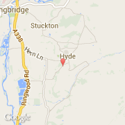
Chiffres
- Code pays :
- GB
- Code postal :
- SP6
- Latitude :
- 50.90812
- Longitude :
- -1.76385
- Zone horaire :
- Europe/London
- Fuseau horaire :
- UTC
- Heure d'été :
- Y
Informations
Chiffres
Villes voisines
Les transports de Hungerford
Informations
Chiffres
Villes voisines
Les transports de Hungerford