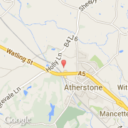
Ville de Holly Lane Industrial Estate (England)
Informations
Chiffres
- Code pays :
- GB
- Code postal :
- CV9
- Latitude :
- 52.58228
- Longitude :
- -1.55327
- Zone horaire :
- Europe/London
- Fuseau horaire :
- UTC
- Heure d'été :
- Y
La ville de Holly Lane Industrial Estate appartient à la nation England, au comté Warwickshire et au district North Warwickshire.
©photo-libre.fr