Informations
Chiffres
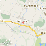
La ville de High Lane appartient à la nation England, au comté Cheshire et au district Stockport.
La ville de High Lane s'étend sur 675 km² et compte 5 852 habitants pour une densité de 8,67 habitants par km².
Villes voisines
Les transports de High Lane