Informations
Chiffres
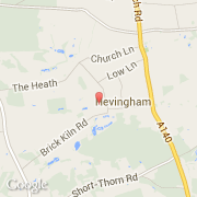
La ville de Hevingham appartient à la nation England, au comté Norfolk et au district Broadland.
La ville de Hevingham s'étend sur 11,66 km² et compte 1 150 habitants pour une densité de 98,63 habitants par km².
Villes voisines
Les transports de Hevingham