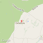
Ville de Delabole (England)
Informations
Chiffres
- Code pays :
- GB
- Code postal :
- PL33
- Latitude :
- 50.62184
- Longitude :
- -4.73222
- Zone horaire :
- Europe/London
- Fuseau horaire :
- UTC
- Heure d'été :
- Y
Informations
Chiffres
Villes voisines
Les transports de Delabole
Informations
Chiffres
Villes voisines
Les transports de Delabole