Ville de College (England)
Informations
Chiffres
- Code pays :
- GB
- Code postal :
- SE19
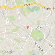
- Latitude :
- 51.42519
- Longitude :
- -0.08062
- Zone horaire :
- Europe/London
- Fuseau horaire :
- UTC
- Heure d'été :
- Y
La ville de College appartient à la nation England, au comté Greater London et au district Southwark.
©photo-libre.fr