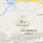
Ville de Castle Donington (England)
Informations
Chiffres
- Code pays :
- GB
- Code postal :
- DE74
- Latitude :
- 52.84130
- Longitude :
- -1.34262
- Zone horaire :
- Europe/London
- Fuseau horaire :
- UTC
- Heure d'été :
- Y
La ville de Castle Donington appartient à la nation England, au comté Leicestershire et au district North West Leicestershire.
©photo-libre.fr