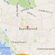
Ville de Burntwood (England)
Informations
Chiffres
- Code pays :
- GB
- Code postal :
- WS7
- Latitude :
- 52.67944
- Longitude :
- -1.92214
- Zone horaire :
- Europe/London
- Fuseau horaire :
- UTC
- Heure d'été :
- Y
La ville de Burntwood appartient à la nation England, au comté Staffordshire et au district Lichfield.
La ville de Burntwood compte 26 049 habitants.
Le site Internet de Burntwood est http://www.burntwood-tc.gov.uk
©photo-libre.fr