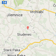
Ville de Studenec (Liberecký kraj)
Informations
Chiffres
- Code pays :
- CZ
- Code postal :
- 514-01
- Latitude :
- 50.56691
- Longitude :
- 15.56614
- Zone horaire :
- Europe/Prague
- Fuseau horaire :
- UTC+1
- Heure d'été :
- Y
La ville de Studenec appartient à la région Liberecký kraj, au district Semily et à la commune Jilemnice.
©photo-libre.fr