Ville de San Fernando (CAR - Cordillera Administrative Region)
Informations
Chiffres
- Code pays :
- PH
- Code postal :
- 3601
- Latitude :
- 16.91861
- Longitude :
- 121.05917
- Zone horaire :
- Asia/Manila
- Fuseau horaire :
- UTC+8
- Heure d'été :
- N
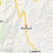
La ville de San Fernando appartient à la région CAR - Cordillera Administrative Region, à la province Ifugao et à la municipalité Banaue.
©photo-libre.fr