Ville de Palmas Altas (Coahuila de Zaragoza)
Informations
Chiffres
- Code pays :
- MX
- Code postal :
- 25332
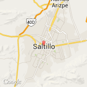
- Latitude :
- 25.42672
- Longitude :
- -100.99543
- Zone horaire :
- America/Monterrey
- Fuseau horaire :
- UTC-6
- Heure d'été :
- Y
La ville de Palmas Altas appartient à l'état Coahuila de Zaragoza et à la commune Saltillo.
©photo-libre.fr