Informations
Chiffres
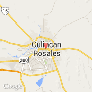
La ville de Libertad (Piramo) appartient à l'état Sinaloa et à la commune Culiacán.
Villes voisines
Les transports de Libertad (Piramo)