Informations
Chiffres
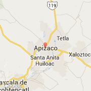
La ville de Guadalupe Texcalac appartient à l'état Tlaxcala et à la commune Apizaco.
Villes voisines
Les transports de Guadalupe Texcalac