Villes voisines
- La Montaña ~2 km
- El Paso de Amatitlán ~2 km
- El Naranjo ~4 km
- Hacienda Nueva ~4 km
- El Temblor ~4 km
- Nuevo Copaltepec ~5 km
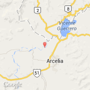
- Arcelia ~5 km
- Azizintla ~5 km
- Casahuate ~5 km
Villes voisines
- La Montaña ~2 km
- El Paso de Amatitlán ~2 km
- El Naranjo ~4 km
- Hacienda Nueva ~4 km
- El Temblor ~4 km
- Nuevo Copaltepec ~5 km
- Arcelia ~5 km
- Azizintla ~5 km
- Casahuate ~5 km