Ville de El Rosario (Tlaxcala)
Informations
Chiffres
- Code pays :
- MX
- Code postal :
- 90456
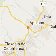
- Latitude :
- 19.38653
- Longitude :
- -98.18135
- Zone horaire :
- America/Mexico_City
- Fuseau horaire :
- UTC-6
- Heure d'été :
- Y
La ville de El Rosario appartient à l'état Tlaxcala et à la commune Yauhquemecan.
©photo-libre.fr