Ville de Chautla (Guerrero)
Informations
Chiffres
- Code pays :
- MX
- Code postal :
- 41110
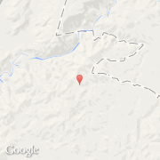
- Latitude :
- 17.98333
- Longitude :
- -98.83333
- Zone horaire :
- America/Mexico_City
- Fuseau horaire :
- UTC-6
- Heure d'été :
- Y
La ville de Chautla appartient à l'état Guerrero et à la commune Chilapa de Alvarez.
©photo-libre.fr