Ville de Mananthavady (Kerala)
Informations
Chiffres
- Code pays :
- IN
- Code postal :
- 670645
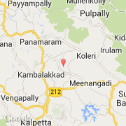
- Latitude :
- 11.69025
- Longitude :
- 76.11885
- Zone horaire :
- Asia/Kolkata
- Fuseau horaire :
- UTC+5:30
- Heure d'été :
- N
La ville de Mananthavady appartient à l'état Kerala, au district Wayanad et au sous-district Mananthavady.
La ville de Mananthavady compte 37 836 habitants (recensement de 2001). L'altitude moyenne est de 760 m.
Le nom anglais de la ville est Mananthavady.
©photo-libre.fr