Ville de Chittaranjan Avenue (West Bengal)
Informations
Chiffres
- Code pays :
- IN
- Code postal :
- 700073
- Latitude :
- 22.57285
- Longitude :
- 88.35600
- Zone horaire :
- Asia/Kolkata
- Fuseau horaire :
- UTC+5:30
- Heure d'été :
- N
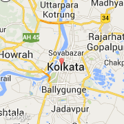
La ville de Chittaranjan Avenue appartient à l'état West Bengal, à la division Presidency et au district Kolkata.
©photo-libre.fr