Ville de Tappan (New York)
Informations
Chiffres
- Code pays :
- US
- Code postal :
- 10983
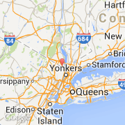
- Latitude :
- 41.02912
- Longitude :
- -73.95098
- Zone horaire :
- America/New_York
- Fuseau horaire :
- UTC-5
- Heure d'été :
- Y
Informations
Chiffres
Villes voisines
Les transports de Tappan
Informations
Chiffres
Villes voisines
Les transports de Tappan