Ville de Laurelton (New York)
Informations
Chiffres
- Code pays :
- US
- Code postal :
- 11413
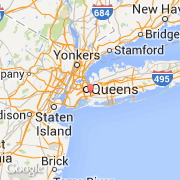
- Latitude :
- 40.67250
- Longitude :
- -73.75056
- Zone horaire :
- America/New_York
- Fuseau horaire :
- UTC-5
- Heure d'été :
- Y
Informations
Chiffres
Villes voisines
Les transports de Laurelton
Informations
Chiffres
Villes voisines
Les transports de Laurelton