Ville de Hopkinton (Rhode Island)
Informations
Chiffres
- Code pays :
- US
- Code postal :
- 02833
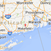
- Latitude :
- 41.47185
- Longitude :
- -71.77820
- Zone horaire :
- America/New_York
- Fuseau horaire :
- UTC-5
- Heure d'été :
- Y
La ville de Hopkinton appartient à l'état Rhode Island et au comté Washington.
La ville de Hopkinton s'étend sur 114,3 km² et compte 8 188 habitants (recensement de 2010) pour une densité de 71,64 habitants par km². L'altitude moyenne est de 53 m.
©photo-libre.fr