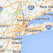
Les transports de Fort Totten
- Aéroports internationaux
-
La Guardia ~8 km
John F Kennedy Intl ~17 km
Westchester Co ~31 km
Newark Liberty Intl ~34 km
- Autres transports
-
New Rochelle Amtrak Station ~14 km
Idlewild Intl ~17 km
East 34th Street Heliport ~17 km
Port Authority Bus Terminal ~18 km
Penn Station ~18 km