Ville de Castro Valley (California)
Informations
Chiffres
- Code pays :
- US
- Code postal :
- 94546
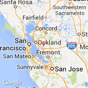
- Latitude :
- 37.72608
- Longitude :
- -122.08038
- Zone horaire :
- America/Los_Angeles
- Fuseau horaire :
- UTC-8
- Heure d'été :
- Y
La ville de Castro Valley appartient à l'état California et au comté Alameda.
La ville de Castro Valley s'étend sur 38,2 km² et compte 61 388 habitants (recensement de 2010) pour une densité de 1 607,02 habitants par km². L'altitude moyenne est de 50 m.
Le maire de la ville de Castro Valley est actuellement N/A.
Le nom espagnol est Castro Valley.
Le site Internet de Castro Valley est http://www.census.gov
©photo-libre.fr