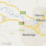
Ville de West Wodonga (Victoria)
Informations
Chiffres
- Code pays :
- AU
- Code postal :
- 3690
- Latitude :
- -36.09977
- Longitude :
- 146.82115
- Zone horaire :
- Australia/Melbourne
- Fuseau horaire :
- UTC+10
- Heure d'été :
- Y
La ville de West Wodonga appartient à l'état Victoria et à la région Far Country.
©photo-libre.fr