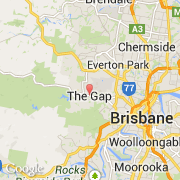
Ville de The Gap (Queensland)
Informations
Chiffres
- Code pays :
- AU
- Code postal :
- 4825
- Latitude :
- -27.44499
- Longitude :
- 152.95277
- Zone horaire :
- Australia/Lindeman
- Fuseau horaire :
- UTC+10
- Heure d'été :
- N
La ville de The Gap appartient à l'état Queensland et à la région Toowoomba.
La ville de The Gap s'étend sur 12,2 km² et compte 16 395 habitants pour une densité de 1 343,85 habitants par km².
Le nom anglais de la ville est The Gap.
©photo-libre.fr